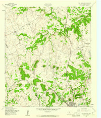
1958 Map of Twin Moutains
USGS Topo · Published 1961About this map
Topsey and the northwestern edge of Copperas Cove anchor this landscape along the Coryell Co Lampasas Co line. The area is defined by the significant presence of the Fort Hood Military Reservation Boundary, which encloses several named peaks including Antelope Mound and Anderson Mountain. Transportation in the late 1950s was dominated by the Gulf Colorado and Santa Fe Railroad cutting through the southern hills, while the Radio Range Station suggests the mid-century aviation infrastructure nearby. Watercourses like Table Rock Creek and Settlement Branch drain the complex terrain of the Twin Mountains and Herzog Mountain. Local community life is marked by the Immanuel Ch and scattered Borrow Pits that suggest the region's physical development during this era of military expansion.
Find a feature on this map
31 named features on this map. Tap any name to fly to it.
Don’t see what you’re looking for? This feature index may not catch every label — zoom into the map to look around manually.
Map Details
Editions of this 1958 Twin Moutains Map
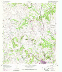
2 editions found
Other maps of this area

1887 · Lampasas
USGS Topo · 1:125,000

1894 · Lampasas
USGS Topo · 1:125,000

1894 · Gatesville
USGS Topo · 1:125,000

1947 · Fort Hood
USGS Topo · 1:62,500

1947 · Fort Hood
USGS Topo · 1:24,000

1947 · Purmela
USGS Topo · 1:62,500

1947 · McMillan Mountains
USGS Topo · 1:24,000

1947 · Pidcoke
USGS Topo · 1:24,000

1947 · Shell Mountains
USGS Topo · 1:24,000

1947 · Twin Moutains
USGS Topo · 1:24,000