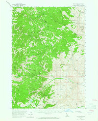
1956 Map of Twin Peaks
USGS Topo · Published 1965About this map
Challis National Forest dominates this mid-century topographic survey, revealing a high-altitude wilderness defined by intricate drainage systems and alpine basins. The terrain is anchored by significant summits like White Valley Mtn and White Mtn, with a network of high lakes including White Goat Lake and Eddy Lake feeding the headwaters of Camas Creek and Morgan Creek.
Find a feature on this map
43 named features on this map. Tap any name to fly to it.
Don’t see what you’re looking for? This feature index may not catch every label — zoom into the map to look around manually.
Map Details
Editions of this 1956 Twin Peaks Map
2 editions found
Other maps of this area

1919 · Custer
USGS Topo · 1:125,000

1922 · Custer
USGS Topo · 1:125,000

1929 · Bayhorse
USGS Topo · 1:125,000

1930 · Casto
USGS Topo · 1:125,000

1956 · Challis
USGS Topo · 1:62,500

1956 · Twin Peaks
USGS Topo · 1:62,500

1957 · Challis
USGS Topo · 1:250,000

1960 · Challis
USGS Topo · 1:250,000

1963 · Challis
USGS Topo · 1:250,000

1963 · Challis Creek Lakes
USGS Topo · 1:24,000