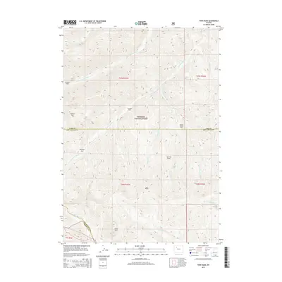
2015 Map of Twin Peaks
USGS Topo · Published 2015About this map
Shoshone National Forest dominates this high-altitude landscape where the headwaters of the Bighorn Basin take shape. High peaks of the Absaroka Range define the local topography, featuring prominent summits such as Standard Peak, Dome Mtn, and the namesake Twin Peaks. This wilderness is carved by an intricate network of drainage systems, including the Middle Fork Wood River and S Fork Wood River, which descend through narrow canyons like Smuggler Gulch.
Find a feature on this map
26 named features on this map. Tap any name to fly to it.
Don’t see what you’re looking for? This feature index may not catch every label — zoom into the map to look around manually.
Map Details
Editions of this 2015 Twin Peaks Map
This is the sole edition of this map. No revisions or reprints were ever made.
Other maps of this area
1904 · Kirwin
USGS Topo · 1:125,000
1906 · Kirwin
USGS Topo · 1:125,000

1955 · Thermopolis
USGS Topo · 1:250,000
1958 · Thermopolis
USGS Topo · 1:250,000
1962 · Thermopolis
USGS Topo · 1:250,000
1967 · Willow Creek
USGS Topo · 1:24,000
1967 · Monument Peak
USGS Topo · 1:24,000
1967 · East Fork Basin
USGS Topo · 1:24,000
1969 · Cottonwood Peak
USGS Topo · 1:24,000
1969 · Twin Peaks
USGS Topo · 1:24,000