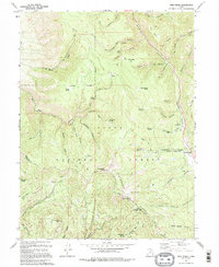
1994 Map of Twin Peaks
USGS Topo · Published 1994About this map
Strawberry Ridge and the high summits of Strawberry Peak and Twin Peaks anchor this landscape along the boundary of Wasatch and Utah counties. The area is defined by a complex drainage network where the North Fork Three Forks and East Fork Three Forks converge, feeding into the deep transit corridor of Daniels Creek. This terrain is almost entirely encompassed by the Uinta National Forest, reflecting a mid-1990s wilderness used primarily for resource management and recreation. Human presence is sparse, marked by the Lodgepole Campground and a scattered network of 4WD trails. The map records specific water management and resource locations, including the Gaging Station and Harrys Reservoir, alongside a lone Prospect near the Uintah and Indian Reservation Boundary, hinting at the region's historic mining and land-use divisions.
Find a feature on this map
50 named features on this map. Tap any name to fly to it.
Don’t see what you’re looking for? This feature index may not catch every label — zoom into the map to look around manually.
Map Details
Editions of this 1994 Twin Peaks Map
2 editions found
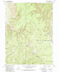
Other maps of this area

1885 · Salt Lake
USGS Topo · 1:250,000

1907 · Strawberry Valley
USGS Topo · 1:125,000

1909 · Strawberry Valley
USGS Topo · 1:125,000

1954 · Salt Lake City
USGS Topo · 1:250,000

1958 · Salt Lake City
USGS Topo · 1:250,000

1960 · Salt Lake City
USGS Topo · 1:250,000

1966 · Strawberry Reservoir NW
USGS Topo · 1:24,000
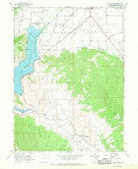
1966 · Charleston
USGS Topo · 1:24,000

1967 · Two Tom Hill
USGS Topo · 1:24,000
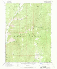
1967 · Granger Mtn
USGS Topo · 1:24,000