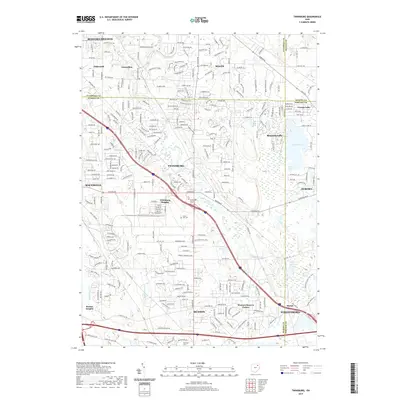
2019 Map of Twinsburg
USGS Topo · Published 2019About this map
Twinsburg and the surrounding suburban developments of Northeast Ohio are shown here in detail, illustrating the intersection of residential growth and the glacial landscape. The area is defined by the winding course of Tinkers Cr and its tributaries like Beaver Meadow Run and Pond Brook. To the northeast, the iconic Geauga Lake sits on the county line, while smaller water bodies like Waterfall Lake and Tinkers Cr Lake dot the terrain. The map records established local history through sites such as Crown Hill Cem and Locust Grove Cem, alongside newer communities like Western Reserve Estates and Reminderville. This 2019 survey documents a landscape of transit and transition, where major parkways like Emerald Valley Pkwy and Beaver Meadow Pkwy connect the industrial and residential hubs of Solon, Hudson, and Streetsboro.
Find a feature on this map
39 named features on this map. Tap any name to fly to it.
Don’t see what you’re looking for? This feature index may not catch every label — zoom into the map to look around manually.
Map Details
Editions of this 2019 Twinsburg Map
This is the sole edition of this map. No revisions or reprints were ever made.
Other maps of this area

1903 · Cleveland
USGS Topo · 1:62,500

1903 · Akron
USGS Topo · 1:62,500

1905 · Akron
USGS Topo · 1:62,500

1906 · Kent
USGS Topo · 1:62,500

1906 · Chagrin Falls
USGS Topo · 1:62,500

1908 · Chagrin Falls
USGS Topo · 1:62,500

1950 · Cleveland
USGS Topo · 1:250,000

1953 · South Russell
USGS Topo · 1:24,000

1953 · Aurora
USGS Topo · 1:24,000

1953 · Chagrin Falls
USGS Topo · 1:24,000