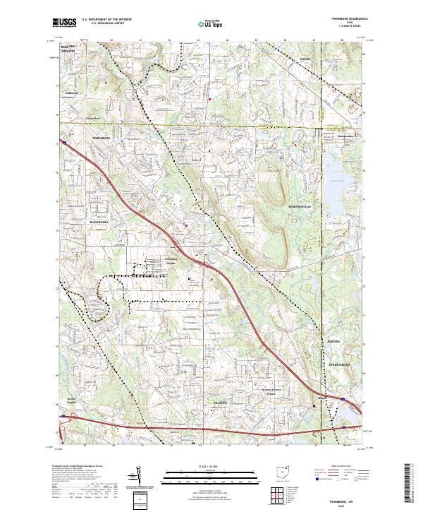
2023 Map of Twinsburg
USGS Topo · Published 2023About this map
Twinsburg and its surrounding suburban developments occupy a landscape defined by the winding course of Tinkers Creek and numerous glacial lakes and ponds. This recent survey illustrates the dense network of modern residential planning, from Western Reserve Estates to the established neighborhoods of Twinsburg Heights and Glenwillow. The topographic detail shows how the terrain accommodates both sprawling residential expansion and industrial corridors, such as those along Emerald Valley Pkwy.
Find a feature on this map
288 named features on this map. Tap any name to fly to it.
Don’t see what you’re looking for? This feature index may not catch every label — zoom into the map to look around manually.
Map Details
Editions of this 2023 Twinsburg Map
This is the sole edition of this map. No revisions or reprints were ever made.
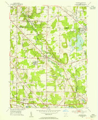
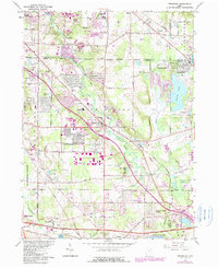
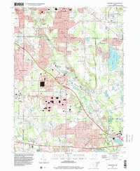
Historical Maps of Nature's Preserve Through Time
4 maps found