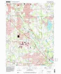
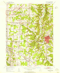
1994 Map of Twinsburg
USGS Topo · Published 2000About this map
Solon and Twinsburg anchor this mid-1990s landscape at the convergence of Cuyahoga, Summit, Geauga, and Portage counties. The map captures an era of significant suburban development within the historic Connecticut Western Reserve, characterized by expanding residential communities like Western Reserve Estates and Reminderville. The Conrail lines and the Ohio Turnpike facilitate regional transport, while the northern edge of the sheet shows the early layout of the Amusement Park adjacent to Geauga Lake. Local education and community life are well-documented through landmarks such as Chamberlin High Sch, Wilcox Sch, and Our Redeemer Ch. Natural drainage patterns define the topography, with Tinkers Creek winding through the center toward Tinkers Creek State Park, punctuated by industrial sites like the Sand and Gravel pits and local infrastructure including several substations and a pumping station.
Find a feature on this map
57 named features on this map. Tap any name to fly to it.
Don’t see what you’re looking for? This feature index may not catch every label — zoom into the map to look around manually.
Map Details
Editions of this 1994 Twinsburg Map
This is the sole edition of this map. No revisions or reprints were ever made.
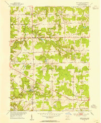
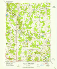
Other maps of this area

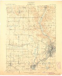
1903 · Cleveland
USGS Topo · 1:62,500

1903 · Akron
USGS Topo · 1:62,500
1905 · Akron
USGS Topo · 1:62,500
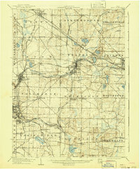
1906 · Kent
USGS Topo · 1:62,500

1906 · Chagrin Falls
USGS Topo · 1:62,500
1908 · Chagrin Falls
USGS Topo · 1:62,500

1950 · Cleveland
USGS Topo · 1:250,000
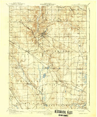
1953 · South Russell
USGS Topo · 1:24,000
1953 · Aurora
USGS Topo · 1:24,000
1953 · Chagrin Falls
USGS Topo · 1:24,000