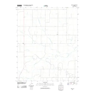
2010 Map of Twitty
USGS Topo · Published 2010About this map
The settlement of Twitty serves as the focal point for this Wheeler County landscape, situated at the intersection of several farm-to-market roads. The terrain is defined by the winding course of the North Fork Red River, which traverses the southern portion of the quadrangle. This drainage system is fed by multiple tributaries, including Bronco Creek and its East Branch, alongside Roundup Creek to the southwest.
Find a feature on this map
23 named features on this map. Tap any name to fly to it.
Don’t see what you’re looking for? This feature index may not catch every label — zoom into the map to look around manually.
Map Details
Editions of this 2010 Twitty Map
This is the sole edition of this map. No revisions or reprints were ever made.
Other maps of this area

1954 · Amarillo
USGS Topo · 1:250,000

1958 · Amarillo
USGS Topo · 1:250,000

1962 · Twitty
USGS Topo · 1:24,000

1962 · Kelton SE
USGS Topo · 1:24,000

1962 · Wheeler
USGS Topo · 1:24,000

1962 · Wheeler SE
USGS Topo · 1:24,000

1963 · Kelton
USGS Topo · 1:24,000

1963 · Kelton NW
USGS Topo · 1:24,000

1963 · Fulller
USGS Topo · 1:24,000

1963 · Shamrock East
USGS Topo · 1:24,000