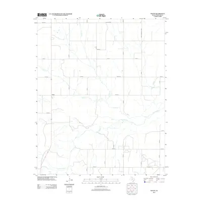
2012 Map of Twitty
USGS Topo · Published 2012About this map
Twitty anchors this portion of the Texas Panhandle, positioned along a grid of rural county roads and state-maintained routes in Wheeler County. The landscape is defined by the winding course of the N Fork Red River, which cuts across the southern half of the sheet, joined by several tributaries including Bronco Cr and its eastern branch, E Br Bronco Cr. The pattern of land use is indicated by the extensive network of ranch and farm roads, such as Ranch Road 1906 and Farm-To-Market Road 1906. For genealogists and local historians, the Center Cem serves as a significant landmark in the central-eastern portion of the quadrangle. The map illustrates the contemporary rural infrastructure of the region, where wide-open ranch lands are bisected by numerous named county roads like Co Road Y and Co Road V.
Find a feature on this map
27 named features on this map. Tap any name to fly to it.
Don’t see what you’re looking for? This feature index may not catch every label — zoom into the map to look around manually.
Map Details
Editions of this 2012 Twitty Map
This is the sole edition of this map. No revisions or reprints were ever made.
Other maps of this area
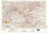
1954 · Amarillo
USGS Topo · 1:250,000
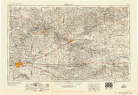
1958 · Amarillo
USGS Topo · 1:250,000
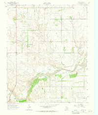
1962 · Twitty
USGS Topo · 1:24,000
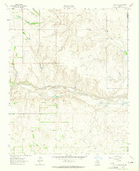
1962 · Kelton SE
USGS Topo · 1:24,000
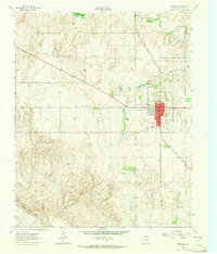
1962 · Wheeler
USGS Topo · 1:24,000
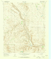
1962 · Wheeler SE
USGS Topo · 1:24,000
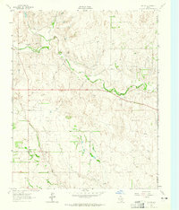
1963 · Kelton
USGS Topo · 1:24,000
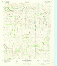
1963 · Kelton NW
USGS Topo · 1:24,000
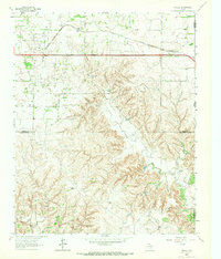
1963 · Fulller
USGS Topo · 1:24,000
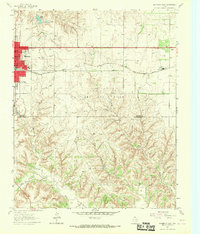
1963 · Shamrock East
USGS Topo · 1:24,000