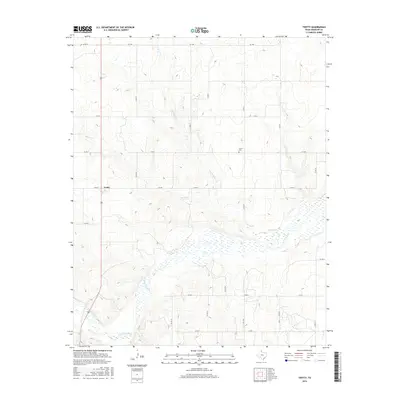
2016 Map of Twitty
USGS Topo · Published 2016About this map
Twitty serves as the primary landmark in this Wheeler County landscape, situated at the junction of 83 and FM 592. The geography is defined by the drainage systems of the N Fork Red River, which winds through the southern half of the quadrangle accompanied by significant wetland areas. Numerous small tributaries, including Bronco Cr, E Br Bronco Cr, and Roundup Cr, carve a network of draws across the terrain.
Find a feature on this map
18 named features on this map. Tap any name to fly to it.
Don’t see what you’re looking for? This feature index may not catch every label — zoom into the map to look around manually.
Map Details
Editions of this 2016 Twitty Map
This is the sole edition of this map. No revisions or reprints were ever made.
Other maps of this area
1954 · Amarillo
USGS Topo · 1:250,000
1958 · Amarillo
USGS Topo · 1:250,000
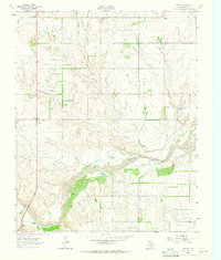
1962 · Twitty
USGS Topo · 1:24,000
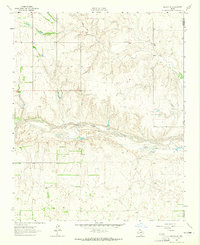
1962 · Kelton SE
USGS Topo · 1:24,000
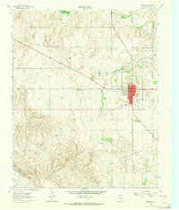
1962 · Wheeler
USGS Topo · 1:24,000
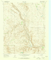
1962 · Wheeler SE
USGS Topo · 1:24,000
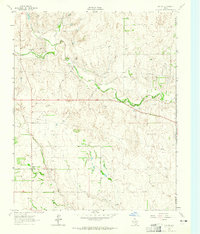
1963 · Kelton
USGS Topo · 1:24,000
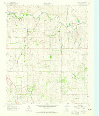
1963 · Kelton NW
USGS Topo · 1:24,000
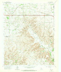
1963 · Fulller
USGS Topo · 1:24,000
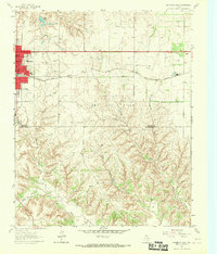
1963 · Shamrock East
USGS Topo · 1:24,000