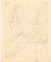
1893 Map of Two Butte
USGS Topo · Published 1900About this map
The Santa Fe Trail cuts a diagonal path across this high plains landscape at the corner of Bent, Prowers, and Baca counties. Surveyed in 1890, the map documents a network of early pioneer settlements and water sources essential for livestock and travel. Isolated outposts like Brookfield, Mulyane, and Ayr dot the vast terrain, while the Longshore Ranch indicates the established ranching economy of the late nineteenth century.
Find a feature on this map
17 named features on this map. Tap any name to fly to it.
Don’t see what you’re looking for? This feature index may not catch every label — zoom into the map to look around manually.
Map Details
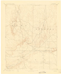
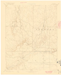
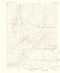
Editions of this 1893 Two Butte Map
5 editions found

Other maps of this area

1890 · Granada
USGS Topo · 1:125,000

1891 · Albany
USGS Topo · 1:125,000

1891 · Higbee
USGS Topo · 1:125,000

1891 · Las Animas
USGS Topo · 1:125,000

1891 · Springfield
USGS Topo · 1:125,000

1892 · Lamar
USGS Topo · 1:125,000

1892 · Vilas
USGS Topo · 1:125,000

1892 · Granada
USGS Topo · 1:125,000

1892 · Two Butte
USGS Topo · 1:125,000

1892 · Mt Carrizo
USGS Topo · 1:125,000