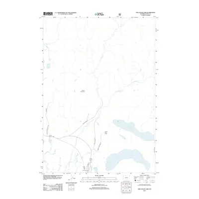
2012 Map of Two Ocean Lake
USGS Topo · Published 2012About this map
Grand Teton National Park terrain defines this survey, highlighting the complex drainage systems and recreation infrastructure north of Jackson Lake. The landscape is anchored by large water bodies such as Emma Matilda Lake and Two Ocean Lake, which are connected by a network of established paths including the Two Ocean Lake Trl and Emma Matilda Lake Trl. This area is dominated by the watershed of Pilgrim Cr, with its eastern fork and various tributaries like Bailey Cr and Second Cr carving through the high country.
Find a feature on this map
24 named features on this map. Tap any name to fly to it.
Don’t see what you’re looking for? This feature index may not catch every label — zoom into the map to look around manually.
Map Details
Editions of this 2012 Two Ocean Lake Map
This is the sole edition of this map. No revisions or reprints were ever made.
Other maps of this area

1885 · Lake
USGS Topo · 1:125,000

1886 · Shoshone
USGS Topo · 1:125,000

1888 · Shoshone
USGS Topo · 1:125,000

1895 · Shoshone
USGS Topo · 1:125,000

1895 · Lake
USGS Topo · 1:125,000

1896 · Lake
USGS Topo · 1:125,000

1899 · Grand Teton
USGS Topo · 1:125,000

1901 · Shoshone
USGS Topo · 1:125,000

1901 · Lake
USGS Topo · 1:125,000

1901 · Grand Teton
USGS Topo · 1:125,000