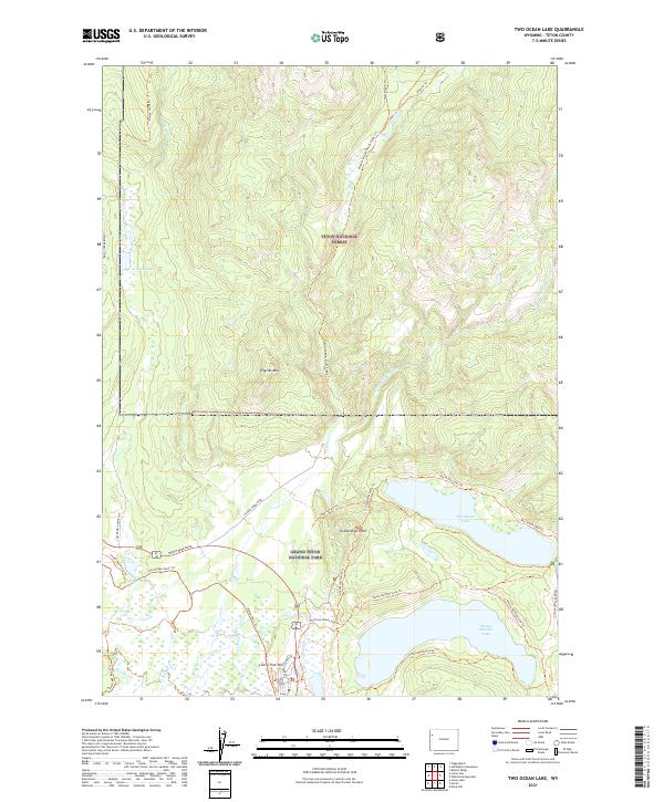
2021 Map of Two Ocean Lake
USGS Topo · Published 2021About this map
Two Ocean Lake and Emma Matilda Lake anchor the southern landscape of this northern Teton survey, where the glacial geography of the valley floor meets the rising timber of the Teton National Forest. The transition from the wetland thickets of Willow Flats to the prominent peak of Pilgrim Mtn illustrates the complex drainage systems of the upper Snake River watershed. This area, largely contained within Grand Teton National Park, is defined by its extensive network of historical backcountry routes including the Pilgrim-Middle Pilgrim Creek Trl and the Grandview Point Trl.
Find a feature on this map
40 named features on this map. Tap any name to fly to it.
Don’t see what you’re looking for? This feature index may not catch every label — zoom into the map to look around manually.
Map Details
Editions of this 2021 Two Ocean Lake Map
This is the sole edition of this map. No revisions or reprints were ever made.
Other maps of this area

1885 · Lake
USGS Topo · 1:125,000

1886 · Shoshone
USGS Topo · 1:125,000

1888 · Shoshone
USGS Topo · 1:125,000

1895 · Shoshone
USGS Topo · 1:125,000

1895 · Lake
USGS Topo · 1:125,000

1896 · Lake
USGS Topo · 1:125,000

1899 · Grand Teton
USGS Topo · 1:125,000

1901 · Shoshone
USGS Topo · 1:125,000

1901 · Lake
USGS Topo · 1:125,000

1901 · Grand Teton
USGS Topo · 1:125,000