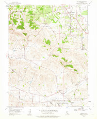
1954 Map of Two Rock
USGS Topo · Published 1964About this map
Americano Creek and Stemple Creek wind through the hills of southwestern Sonoma County in this mid-century survey. The landscape is defined by its rural education and transport networks, including the Petaluma and Santa Rosa rail line and numerous local schools like Eucalyptus School and Gold Ridge Sch. In the southern portion of the map, the Two Rock Ranch Station Military Reservation sits near the border of Sonoma and Marin counties, providing a glimpse into the Cold War-era defense footprint in northern California. Small agricultural hubs such as Bloomfield and Hessel are clearly delineated, showing the layout of farmsteads and rural roads before modern suburban expansion began to alter the region north of the Llano de Santa Rosa.
Find a feature on this map
33 named features on this map. Tap any name to fly to it.
Don’t see what you’re looking for? This feature index may not catch every label — zoom into the map to look around manually.
Map Details
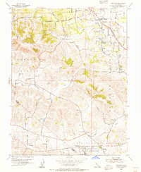
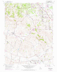
Editions of this 1954 Two Rock Map
3 editions found
Other maps of this area

1914 · Petaluma
USGS Topo · 1:62,500

1916 · Santa Rosa
USGS Topo · 1:62,500

1916 · Point Reyes
USGS Topo · 1:48,000

1918 · Point Reyes
USGS Topo · 1:62,500

1935 · Sebastopol
USGS Topo · 1:48,000

1942 · Sebastopol
USGS Topo · 1:62,500

1942 · Petaluma
USGS Topo · 1:62,500

1944 · Santa Rosa
USGS Topo · 1:62,500

1947 · Santa Rosa
USGS Topo · 1:250,000

1949 · Santa Rosa
USGS Topo · 1:250,000