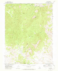
1968 Map of Tybo
USGS Topo · Published 1973About this map
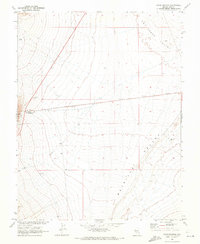
The settlement of Tybo lies at the heart of the Hot Creek Range, documented here as it appeared in the late 1960s. This survey, conducted in cooperation with the Atomic Energy Commission, highlights a landscape defined by its mining heritage and rugged geological formations. Mining activity is evident throughout the southern reaches, with the A & B Mine, M & M Mine, and Break Mine situated near several prospects and Water Tanks. The industrial legacy of the area is further marked by multiple clusters of Charcoal Kilns found in the northern canyons, essential for early smelting operations. High peaks such as Amethyst Peak and Peach Peak overlook a complex network of drainages including Cottonwood Canyon and Fairbanks Canyon. Reliable water sources like Mule Shoe Spring and Dean Spring provided necessary support for the remote operations in this arid Nevada environment.
Find a feature on this map
34 named features on this map. Tap any name to fly to it.
Don’t see what you’re looking for? This feature index may not catch every label — zoom into the map to look around manually.
Map Details
Editions of this 1968 Tybo Map
2 editions found
Other maps of this area

1956 · Tonopah
USGS Topo · 1:250,000

1959 · Tonopah
USGS Topo · 1:250,000

1962 · Tonopah
USGS Topo · 1:250,000

1967 · Blue Jay Spring
USGS Topo · 1:24,000

1967 · Tybo SE
USGS Topo · 1:24,000

1968 · Tybo
USGS Topo · 1:62,500

1968 · Warm Springs
USGS Topo · 1:62,500
1968 · Warm Springs NW
USGS Topo · 1:24,000
1968 · Flagstaff Mtn.
USGS Topo · 1:24,000
1968 · Warm Springs
USGS Topo · 1:24,000