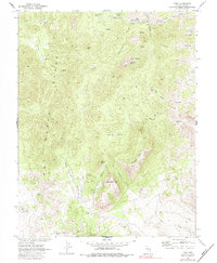
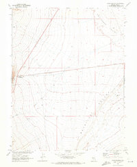
1968 Map of Tybo
USGS Topo · Published 1984About this map
The Hot Creek Range defines this central Nevada landscape, where the settlement of Tybo is situated amidst a network of high-desert canyons and ridges. In the late 1960s, the area remained a hub of geological interest, mapped by the Geological Survey in cooperation with the Atomic Energy Commission. Evidence of early industrial and mining activity is scattered throughout the terrain, from the Charcoal Kilns in the northwest to the Trench and Air Shaft Ridge near the main townsite.
Find a feature on this map
36 named features on this map. Tap any name to fly to it.
Don’t see what you’re looking for? This feature index may not catch every label — zoom into the map to look around manually.
Map Details
Editions of this 1968 Tybo Map
2 editions found
Other maps of this area

1956 · Tonopah
USGS Topo · 1:250,000

1959 · Tonopah
USGS Topo · 1:250,000

1962 · Tonopah
USGS Topo · 1:250,000

1967 · Blue Jay Spring
USGS Topo · 1:24,000

1967 · Tybo SE
USGS Topo · 1:24,000

1968 · Tybo
USGS Topo · 1:62,500

1968 · Warm Springs
USGS Topo · 1:62,500
1968 · Warm Springs NW
USGS Topo · 1:24,000
1968 · Flagstaff Mtn.
USGS Topo · 1:24,000
1968 · Warm Springs
USGS Topo · 1:24,000