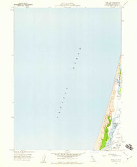
1959 Map of Tyee City
USGS Topo · Published 1960About this map
The Pacific Ocean coastline dominates this late 1950s survey, where the Mad River meets the sea amid a narrow band of Sand Dunes. The map focuses on the rural coastal edge north of Humboldt Bay, featuring the small settlement of Tyee City and the agricultural expanse of the Arcata Bottoms. This landscape is defined by the efforts to manage the wetlands, with an extensive system of Levee structures protecting the lowlands around Mad River Slough and Liscom Slough.
Find a feature on this map
14 named features on this map. Tap any name to fly to it.
Don’t see what you’re looking for? This feature index may not catch every label — zoom into the map to look around manually.
Map Details
Editions of this 1959 Tyee City Map
3 editions found
Other maps of this area

1922 · Eureka
USGS Topo · 1:62,500

1933 · Eureka
USGS Topo · 1:48,000

1942 · Eureka
USGS Topo · 1:62,500

1945 · Trinidad
USGS Topo · 1:62,500

1949 · Eureka
USGS Topo · 1:250,000

1951 · Eureka
USGS Topo · 1:62,500
1952 · Trinidad
USGS Topo · 1:62,500
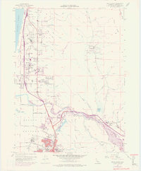
1952 · Arcata North
USGS Topo · 1:24,000
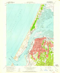
1958 · Eureka
USGS Topo · 1:24,000

1958 · Eureka
USGS Topo · 1:250,000