
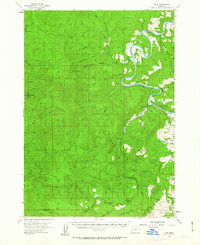
1955 Map of Tyee
USGS Topo · Published 1957About this map
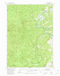
The Umpqua River snakes through the heart of this mid-century landscape, defining the transition from the steep, timbered ridges of the Oregon Coast Range to the fertile openings of Coles Valley. Small settlements like Tyee and Millwood serve as anchors along the river's winding path, where early infrastructure is evidenced by the numerous Jeep Trail routes and lookouts such as Bateman Lookout and the Callahan station.
Find a feature on this map
45 named features on this map. Tap any name to fly to it.
Don’t see what you’re looking for? This feature index may not catch every label — zoom into the map to look around manually.
Map Details
Editions of this 1955 Tyee Map
3 editions found
Other maps of this area

1897 · Roseburg
USGS Topo · 1:125,000

1900 · Roseburg
USGS Topo · 1:125,000

1928 · Sitkum
USGS Topo · 1:125,000

1954 · Sutherlin
USGS Topo · 1:62,500

1954 · Drain
USGS Topo · 1:62,500

1955 · Camas Valley
USGS Topo · 1:62,500

1955 · Scottsburg
USGS Topo · 1:62,500

1955 · Ivers Peak
USGS Topo · 1:62,500

1955 · Sitkum
USGS Topo · 1:62,500

1955 · Roseburg
USGS Topo · 1:62,500