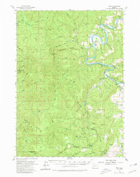
1955 Map of Tyee
USGS Topo · Published 1980About this map
The Umpua River meanders deeply through this Douglas County landscape, forming sharp oxbows near the small settlement of Tyee and the community of Millwood. This mid-century survey reveals a terrain defined by high summits and observation points, including Kelly Butte and Green Peak, alongside the Bateman Lookout and Baughman Lookout. The river's path is the primary corridor for regional activity, providing access to recreational areas like James Wood Park and Mack Brown Park. To the east, Coles Valley offers a departure from the steep ridgelines like Knife Ridge and Bear Ridge that dominate the western portion of the map. Traces of local industry and infrastructure are visible through a Quarry near the northern boundary and numerous Jeep Trails that penetrate the high country near Hawkins Lake and Lost Lake.
Find a feature on this map
43 named features on this map. Tap any name to fly to it.
Don’t see what you’re looking for? This feature index may not catch every label — zoom into the map to look around manually.
Map Details
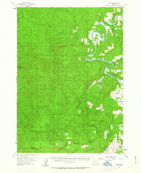
Editions of this 1955 Tyee Map
3 editions found
Other maps of this area

1897 · Roseburg
USGS Topo · 1:125,000

1900 · Roseburg
USGS Topo · 1:125,000

1928 · Sitkum
USGS Topo · 1:125,000

1954 · Sutherlin
USGS Topo · 1:62,500

1954 · Drain
USGS Topo · 1:62,500

1955 · Camas Valley
USGS Topo · 1:62,500

1955 · Scottsburg
USGS Topo · 1:62,500

1955 · Ivers Peak
USGS Topo · 1:62,500

1955 · Sitkum
USGS Topo · 1:62,500

1955 · Tyee
USGS Topo · 1:62,500