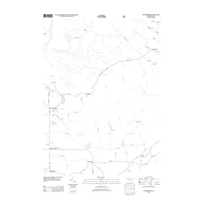
2013 Map of Tylersburg
USGS Topo · Published 2013About this map
Tylersburg and the surrounding hamlets of Clarion County are defined by a dendritic network of streams and winding rural roads in this 2013 topographic study. The landscape is punctuated by small settlements like Lickingville, Frills Corners, and Crown, which serve as local nodes within a heavily wooded and dissected plateau. Significant drainage systems including Little Coon Cr and Licking Cr carve through the terrain, influencing the placement of historical routes such as Guitonville Rd and Jones Farm Rd. The presence of Golinza Mill Rd near Golinza points to the area's earlier water-powered industrial past. This modern survey provides a clear look at the contemporary infrastructure of Newmansville and Guitonville, preserving the locations of family-named landmarks and rural connectors that have shaped this portion of Pennsylvania for generations.
Find a feature on this map
78 named features on this map. Tap any name to fly to it.
Don’t see what you’re looking for? This feature index may not catch every label — zoom into the map to look around manually.
Map Details
Editions of this 2013 Tylersburg Map
This is the sole edition of this map. No revisions or reprints were ever made.
Other maps of this area

1918 · Loleta
USGS Topo · 1:62,500

1922 · Tionesta
USGS Topo · 1:62,500

1924 · Tionesta
USGS Topo · 1:62,500

1927 · Tidioute
USGS Topo · 1:48,000

1930 · Tidioute
USGS Topo · 1:62,500

1935 · Sheffield
USGS Topo · 1:48,000

1936 · Marienville
USGS Topo · 1:48,000

1941 · Sheffield
USGS Topo · 1:62,500

1941 · Marienville
USGS Topo · 1:62,500

1946 · Tionesta
USGS Topo · 1:62,500