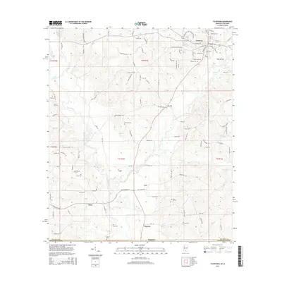
2015 Map of Tylertown
USGS Topo · Published 2015About this map
Tylertown serves as the focal point of this 2015 survey, situated at the crossing of major local thoroughfares in southern Mississippi. The town's layout is meticulously detailed, showing the proximity of the Tylertown Cem and Founders Cem to the central residential and commercial blocks. The landscape is defined by the winding course of the Bogue Chitto river and its many tributaries, such as Magees Creek and Silver Cr, which drain the timber and agricultural lands of Walthall County.
Find a feature on this map
108 named features on this map. Tap any name to fly to it.
Don’t see what you’re looking for? This feature index may not catch every label — zoom into the map to look around manually.
Map Details
Editions of this 2015 Tylertown Map
This is the sole edition of this map. No revisions or reprints were ever made.
Other maps of this area

1939 · Sunny Hill
USGS Topo · 1:31,680

1939 · Clifton
USGS Topo · 1:31,680

1942 · Thomas
USGS Topo · 1:31,680

1953 · Natchez
USGS Topo · 1:250,000

1954 · Baton Rouge
USGS Topo · 1:250,000

1956 · Natchez
USGS Topo · 1:250,000

1956 · Baton Rouge
USGS Topo · 1:250,000
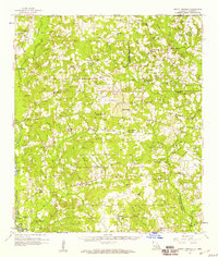
1958 · Mount Hermon
USGS Topo · 1:62,500
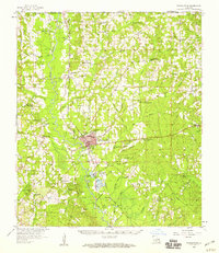
1958 · Franklinton
USGS Topo · 1:62,500

1959 · Natchez
USGS Topo · 1:250,000