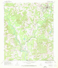
1970 Map of Tylertown
USGS Topo · Published 1972About this map
Tylertown serves as the focal point of this 1970 landscape, where the Gulf Mobile and Ohio railroad corridor tracks alongside the Bogue Chitto river system. The map documents a rural network of family and community landmarks crossing the Mississippi Louisiana state line into Washington Parish. The distribution of scattered settlements like Lexie, Popes, and Simonds reveals a traditional agrarian structure maintained into the late twentieth century.
Find a feature on this map
36 named features on this map. Tap any name to fly to it.
Don’t see what you’re looking for? This feature index may not catch every label — zoom into the map to look around manually.
Map Details
Editions of this 1970 Tylertown Map
This is the sole edition of this map. No revisions or reprints were ever made.
Other maps of this area
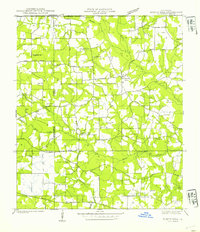
1939 · Sunny Hill
USGS Topo · 1:31,680
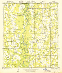
1939 · Clifton
USGS Topo · 1:31,680
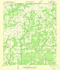
1942 · Thomas
USGS Topo · 1:31,680

1953 · Natchez
USGS Topo · 1:250,000

1954 · Baton Rouge
USGS Topo · 1:250,000

1956 · Natchez
USGS Topo · 1:250,000
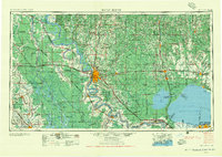
1956 · Baton Rouge
USGS Topo · 1:250,000
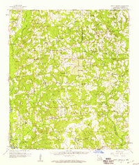
1958 · Mount Hermon
USGS Topo · 1:62,500
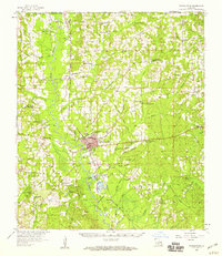
1958 · Franklinton
USGS Topo · 1:62,500
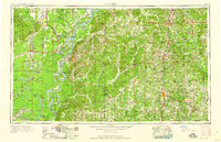
1959 · Natchez
USGS Topo · 1:250,000