2022 Map of Tynan
USGS Topo · Published 2022About this map
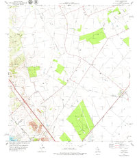
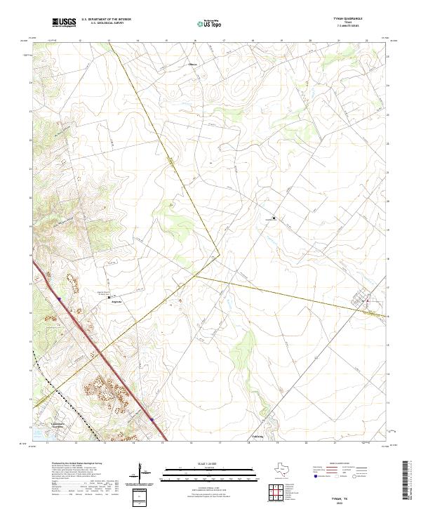
Argenta and the nearby Argenta Church of Christ Cem anchor a landscape where the rolling coastal plains of South Texas meet the edge of Lake Corpus Christi. This area, situated along the triple-point boundary of Bee, Live Oak, and San Patricio Counties, is defined by an intricate network of seasonal drainages including Olmos Cr, Papalote Cr, and Bayou Cr. The map captures a transition between rural ranching land and lakeside development, visible in the cluster of roads around Lakeshore Gardens. Further inland, family names are preserved in geographical features like Rufe Williams Hollow and Jack Green Hollow, while small agricultural centers like Olmos and Vahlsing are connected by a web of Farm-to-Market roads, including FM 796 and FM 797.
Find a feature on this map
65 named features on this map. Tap any name to fly to it.
Don’t see what you’re looking for? This feature index may not catch every label — zoom into the map to look around manually.
Map Details
Editions of this 2022 Tynan Map
This is the sole edition of this map. No revisions or reprints were ever made.
Historical Maps of Olmos Through Time
2 maps found