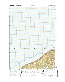
2016 Map of Tyonek A-2 SE
USGS Topo · Published 2016About this map
Point Possession marks the geographic centerpiece of this coastal survey, where the northern Kenai Peninsula reaches into the waters of the Pacific Ocean. This area is characterized by the small settlement of Possession, situated along the shoreline where the land begins to rise from the tidal flats. The cartography reveals a landscape defined by the transition from open sea to the complex hydrology of the peninsula's interior. As part of the t11n r6w and t12n r6w townships, the map documents the sparse development and natural terrain of this isolated northern reach before the terrain moves inland toward more rugged wilderness.
Find a feature on this map
6 named features on this map. Tap any name to fly to it.
Don’t see what you’re looking for? This feature index may not catch every label — zoom into the map to look around manually.
Map Details
Editions of this 2016 Tyonek A-2 SE Map
This is the sole edition of this map. No revisions or reprints were ever made.
Other maps of this area

1944 · Kenai
USGS Topo · 1:250,000

1949 · Tyonek
USGS Topo · 1:250,000

1950 · Kenai
USGS Topo · 1:250,000

1951 · Tyonek
USGS Topo · 1:250,000

1951 · Kenai D-1
USGS Topo · 1:63,360

1951 · Kenai D-2
USGS Topo · 1:63,360

1951 · Tyonek A-2
USGS Topo · 1:63,360

1951 · Tyonek A-1
USGS Topo · 1:63,360

1952 · Kenai D-2
USGS Topo · 1:63,360

1952 · Tyonek A-2
USGS Topo · 1:63,360