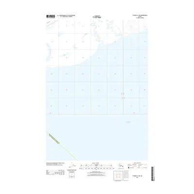
2013 Map of Tyonek A-3 NE
USGS Topo · Published 2013About this map
The Pacific Ocean coastline dominates the southern portion of this 2013 survey, meeting the diverse wetlands and drainage basins of the Cook Inlet region. This landscape is defined by the winding paths of the Theodore River, Lewis River, and the Beluga River as they approach the coast. Inland, the hydrology is characterized by numerous small water bodies, most notably the Chedatna Lakes and Seeley Lake, which suggest a low-lying, marshy terrain typical of this coastal reach.
Find a feature on this map
10 named features on this map. Tap any name to fly to it.
Don’t see what you’re looking for? This feature index may not catch every label — zoom into the map to look around manually.
Map Details
Editions of this 2013 Tyonek A-3 NE Map
This is the sole edition of this map. No revisions or reprints were ever made.
Other maps of this area

1949 · Tyonek
USGS Topo · 1:250,000

1951 · Tyonek
USGS Topo · 1:250,000

1951 · Tyonek A-2
USGS Topo · 1:63,360

1952 · Tyonek A-2
USGS Topo · 1:63,360

1958 · Tyonek B-3
USGS Topo · 1:63,360
1958 · Tyonek A-3
USGS Topo · 1:63,360

1958 · Tyonek B-2
USGS Topo · 1:63,360

1958 · Tyonek
USGS Topo · 1:250,000

1965 · Tyonek
USGS Topo · 1:250,000
2013 · Tyonek B-3 SW
USGS Topo · 1:25,000