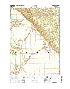
2016 Map of Tyonek A-5 SE
USGS Topo · Published 2016About this map
Trading Bay defines the southern edge of this coastal landscape, where the tides of the Cook Inlet meet the intricate drainage systems of the Kenai Peninsula. The terrain is characterized by a dense network of waterways, most notably the winding course of Nikolai Cr which traverses much of the northern and central sections. This 2016 survey illustrates the complex alluvial patterns formed by the Middle River and Chuitkilnachna Cr as they move toward the coast. The absence of roads or established settlements emphasizes the wilderness character of these township lines, including t11n r13w and t12n r13w, where natural water features like Stedatna Cr remain the primary landmarks for navigation and land identification in this remote portion of the borough.
Find a feature on this map
9 named features on this map. Tap any name to fly to it.
Don’t see what you’re looking for? This feature index may not catch every label — zoom into the map to look around manually.
Map Details
Editions of this 2016 Tyonek A-5 SE Map
This is the sole edition of this map. No revisions or reprints were ever made.
Other maps of this area

1944 · Kenai
USGS Topo · 1:250,000

1949 · Tyonek
USGS Topo · 1:250,000

1950 · Kenai
USGS Topo · 1:250,000

1950 · Kenai D-4
USGS Topo · 1:63,360

1951 · Tyonek
USGS Topo · 1:250,000

1952 · Kenai D-4
USGS Topo · 1:63,360

1958 · Tyonek A-5
USGS Topo · 1:63,360

1958 · Tyonek A-4
USGS Topo · 1:63,360

1958 · Kenai D-5
USGS Topo · 1:63,360

1958 · Tyonek
USGS Topo · 1:250,000