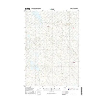
2016 Map of Tyonek C-3 NE
USGS Topo · Published 2016About this map
Alexander Lake and the headwaters of Alexander Creek dominate this northern reach of the Susitna Valley. The terrain is a complex network of wetlands and small water bodies characteristic of the Matanuska-Susitna region, where the hydrology is defined by glacial drainage patterns. Moving south, Sucker Lake feeds into Sucker Creek, while smaller basins like Rabbit Lake and Jean Lake dot the landscape. This area, largely untouched by major road infrastructure as of 2016, preserves a wilderness character where smaller tributaries like Bear Cr and Clear Cr navigate the lowland flats. The map provides a detailed view of the intricate stream braiding and the marshy corridors that have long influenced seasonal movement and subsistence patterns in this part of Alaska.
Find a feature on this map
12 named features on this map. Tap any name to fly to it.
Don’t see what you’re looking for? This feature index may not catch every label — zoom into the map to look around manually.
Map Details
Editions of this 2016 Tyonek C-3 NE Map
This is the sole edition of this map. No revisions or reprints were ever made.
Other maps of this area

1949 · Tyonek
USGS Topo · 1:250,000

1951 · Tyonek
USGS Topo · 1:250,000

1954 · Tyonek D-2
USGS Topo · 1:63,360

1954 · Tyonek D-3
USGS Topo · 1:63,360

1954 · Tyonek C-3
USGS Topo · 1:63,360

1958 · Tyonek C-2
USGS Topo · 1:63,360

1958 · Tyonek
USGS Topo · 1:250,000

1965 · Tyonek
USGS Topo · 1:250,000
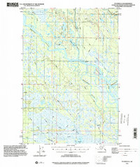
1993 · Tyonek D-3
USGS Topo · 1:63,360
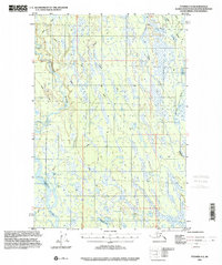
1993 · Tyonek D-2
USGS Topo · 1:63,360