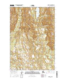
2016 Map of Tyonek C-4 NW
USGS Topo · Published 2016About this map
The Talachulitna River winds through this expanse of the Matanuska-Susitna Borough, defining a landscape where aviation and water determine access. Central to the area's connectivity is the Talaheim Airport, a critical landing strip situated near the riverbanks that serves as a gateway for remote wilderness travel. The hydrography of the region is characterized by significant water bodies such as Hiline Lake in the northern reaches and Movie Lake to the south, connected by a network of seasonal drainages including Friday Cr and Saturday Cr. This 2016 survey illustrates the modern topography of south-central Alaska, highlighting the township and range lines of t19n r12w and t18n r11w that organize this largely roadless territory.
Find a feature on this map
10 named features on this map. Tap any name to fly to it.
Don’t see what you’re looking for? This feature index may not catch every label — zoom into the map to look around manually.
Map Details
Editions of this 2016 Tyonek C-4 NW Map
This is the sole edition of this map. No revisions or reprints were ever made.
Other maps of this area

1949 · Tyonek
USGS Topo · 1:250,000

1951 · Tyonek
USGS Topo · 1:250,000

1954 · Tyonek C-5
USGS Topo · 1:63,360

1954 · Tyonek C-4
USGS Topo · 1:63,360

1954 · Tyonek D-5
USGS Topo · 1:63,360

1954 · Tyonek D-4
USGS Topo · 1:63,360

1958 · Tyonek
USGS Topo · 1:250,000

1965 · Tyonek
USGS Topo · 1:250,000
1993 · Tyonek D-4
USGS Topo · 1:63,360
2016 · Tyonek C-4 NE
USGS Topo · 1:25,000