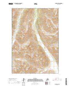
2017 Map of Tyonek C-8 SW
USGS Topo · Published 2017About this map
Lake Clark National Park anchors the southwestern corner of this topographic study, where the protected federal lands meet the high-relief terrain of the Matanuska-Susitna region. The landscape is dominated by the braided glacial drainage of the Skwentna River, which cuts a wide path through the mountains as it flows southeast. The map reveals the intricate network of alpine tributaries, most notably Crystal Cr, which feeds into the larger river system. Given the absence of roads or established settlements, the map illustrates a portion of the Alaskan wilderness defined purely by its hydrological patterns and the Public Land Survey System grids, including townships t18n r21w, t18n r20w, and t17n r20w. This 2017 edition serves as a precise record of the shoreline and elevation contours within these protected mountain valleys.
Find a feature on this map
9 named features on this map. Tap any name to fly to it.
Don’t see what you’re looking for? This feature index may not catch every label — zoom into the map to look around manually.
Map Details
Editions of this 2017 Tyonek C-8 SW Map
This is the sole edition of this map. No revisions or reprints were ever made.
Other maps of this area

1949 · Tyonek
USGS Topo · 1:250,000

1951 · Tyonek
USGS Topo · 1:250,000

1951 · Lime Hills
USGS Topo · 1:250,000

1958 · Tyonek B-8
USGS Topo · 1:63,360

1958 · Tyonek C-8
USGS Topo · 1:63,360

1958 · Tyonek
USGS Topo · 1:250,000

1958 · Lime Hills B-1
USGS Topo · 1:63,360

1958 · Lime Hills C-1
USGS Topo · 1:63,360

1958 · Lime Hills
USGS Topo · 1:250,000

1965 · Tyonek
USGS Topo · 1:250,000