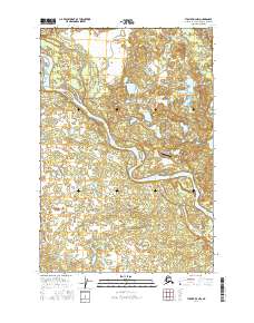
2016 Map of Tyonek D-3 NW
USGS Topo · Published 2016About this map
The Yentna River winds through this section of the Matanuska-Susitna Borough, defining a landscape shaped by glacial braided river systems and dense wetland networks. In the southeastern corner of the quadrangle, the settlement of Skwentna serves as a remote hub for the region, positioned near the confluence of the river and Twentymile Slough. The presence of the River John Airport highlights the critical role of aviation for access in this roadless interior, where transport is otherwise limited to the river corridors. Numerous small water bodies and drainage features, including Fish Lake Creek and Bottle Cr, indicate a complex hydrography typical of the Susitna Valley. This 2016 survey documents the intricate drainage patterns and isolated infrastructure that sustain local activity in this portion of the Alaskan wilderness.
Find a feature on this map
10 named features on this map. Tap any name to fly to it.
Don’t see what you’re looking for? This feature index may not catch every label — zoom into the map to look around manually.
Map Details
Editions of this 2016 Tyonek D-3 NW Map
This is the sole edition of this map. No revisions or reprints were ever made.
Other maps of this area

1949 · Tyonek
USGS Topo · 1:250,000

1950 · Talkeetna
USGS Topo · 1:250,000

1951 · Talkeetna
USGS Topo · 1:250,000

1951 · Tyonek
USGS Topo · 1:250,000

1954 · Tyonek D-3
USGS Topo · 1:63,360

1954 · Talkeetna A-3
USGS Topo · 1:63,360

1954 · Tyonek D-4
USGS Topo · 1:63,360

1954 · Talkeetna A-2
USGS Topo · 1:63,360

1958 · Tyonek
USGS Topo · 1:250,000

1958 · Talkeetna
USGS Topo · 1:250,000