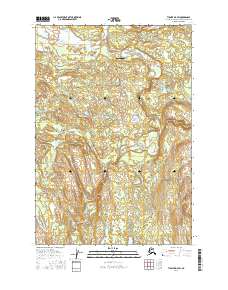
2016 Map of Tyonek D-4 SW
USGS Topo · Published 2016About this map
The Talachulitna River flows through a landscape of braided channels and glacial lakes within the Matanuska-Susitna Borough. This river system, including tributaries like Thursday Cr and Bates Cr, defines the hydrography of the region as it moves toward the Skwentna River to the north. The presence of the Talachulitna River Airport suggests the critical role of bush aviation in accessing this remote terrain, providing a vital link for seasonal visitors and transport.
Find a feature on this map
15 named features on this map. Tap any name to fly to it.
Don’t see what you’re looking for? This feature index may not catch every label — zoom into the map to look around manually.
Map Details
Editions of this 2016 Tyonek D-4 SW Map
This is the sole edition of this map. No revisions or reprints were ever made.
Other maps of this area

1949 · Tyonek
USGS Topo · 1:250,000

1951 · Tyonek
USGS Topo · 1:250,000

1954 · Tyonek C-5
USGS Topo · 1:63,360

1954 · Tyonek C-4
USGS Topo · 1:63,360

1954 · Tyonek D-5
USGS Topo · 1:63,360

1954 · Tyonek D-4
USGS Topo · 1:63,360

1958 · Tyonek
USGS Topo · 1:250,000

1965 · Tyonek
USGS Topo · 1:250,000
1993 · Tyonek D-4
USGS Topo · 1:63,360
2016 · Tyonek C-4 NW
USGS Topo · 1:25,000