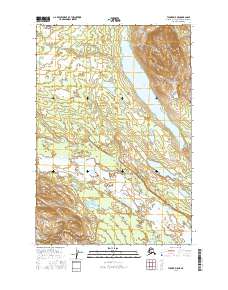
2016 Map of Tyonek D-5 NE
USGS Topo · Published 2016About this map
Skwentna sits at the heart of this riverine landscape, where the braided channels of the Skwentna River dominate the southern half of the quadrangle. The terrain transitions from these low-lying wetlands and river bends toward the prominent Shell Hills in the northeast, which overlook the elongated waters of Shell Lake. This area of the Matanuska-Susitna Borough is defined by its complex hydrology, with numerous smaller bodies like Onestone Lake and Canyon Lake connected by an intricate network of streams including Shell Cr and Canyon Cr. The survey illustrates a typical Alaskan wilderness pattern where settlements are closely tied to navigable river systems and the rare points of high ground, such as those found within the t22n r13w and t21n r12w townships.
Find a feature on this map
12 named features on this map. Tap any name to fly to it.
Don’t see what you’re looking for? This feature index may not catch every label — zoom into the map to look around manually.
Map Details
Editions of this 2016 Tyonek D-5 NE Map
This is the sole edition of this map. No revisions or reprints were ever made.
Other maps of this area

1949 · Tyonek
USGS Topo · 1:250,000

1950 · Talkeetna
USGS Topo · 1:250,000

1951 · Talkeetna
USGS Topo · 1:250,000

1951 · Tyonek
USGS Topo · 1:250,000

1954 · Talkeetna A-3
USGS Topo · 1:63,360

1954 · Tyonek D-5
USGS Topo · 1:63,360

1954 · Tyonek D-4
USGS Topo · 1:63,360

1954 · Talkeetna A-4
USGS Topo · 1:63,360

1958 · Tyonek
USGS Topo · 1:250,000

1958 · Talkeetna
USGS Topo · 1:250,000