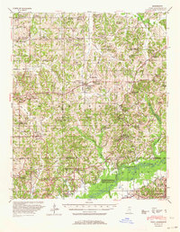
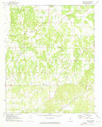
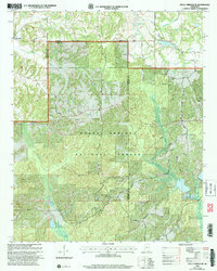
1944 Map of Tyro
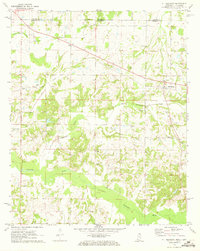
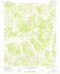
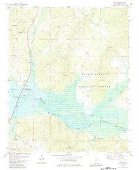
USGS Topo · Published 1964This historical map portrays the area of Tyro in 1944, primarily covering Marshall County as well as portions of Panola County, Tate County, and Lafayette County. Featuring a scale of 1:62500, this map provides a highly detailed snapshot of the terrain, roads, buildings, counties, and historical landmarks in the Tyro region at the time. Published in 1964, it is the sole known edition of this map.
Find a feature on this map
112 named features on this map. Tap any name to fly to it.
Don’t see what you’re looking for? This feature index may not catch every label — zoom into the map to look around manually.
Map Details
Editions of this 1944 Tyro Map
This is the sole edition of this map. No revisions or reprints were ever made.
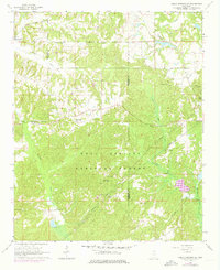
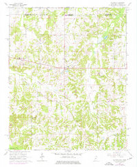
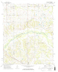
Historical Maps of Wallhill Through Time
10 maps found
1944 Tyro
Marshall County, MS
1964 Holly Springs SE
Marshall County, MS
1965 Slayden
Marshall County, MS
1971 Byhalia NW
Marshall County, MS
1971 Marianna
Marshall County, MS
1971 Mt. Pleasant
Marshall County, MS
1971 Wyatte
Marshall County, MS
1982 Malone
Marshall County, MS
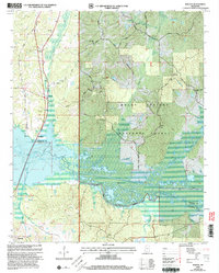
2000 Holly Springs SE
Marshall County, MS
2000 Malone
Marshall County, MS