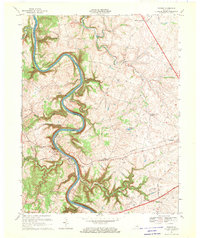
1967 Map of Tyrone
USGS Topo · Published 1969About this map
The meandering Kentucky River carves a deep, serpentine path through the limestone country of Woodford and Anderson Counties, defining the industrial and social landscape of the late 1960s. The settlement of Tyrone sits at a critical bend where the Southern Railway crosses the water, supported by nearby infrastructure including a filtration plant and powerplant. To the east, the city of Versailles serves as a regional hub, connected to the river settlements by historic corridors like Clifton Road and McConnells Ferry Road.
Find a feature on this map
47 named features on this map. Tap any name to fly to it.
Don’t see what you’re looking for? This feature index may not catch every label — zoom into the map to look around manually.
Map Details
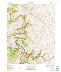
Editions of this 1967 Tyrone Map
2 editions found
Other maps of this area

1905 · Harrodsburg
USGS Topo · 1:125,000

1906 · Georgetown
USGS Topo · 1:62,500

1908 · Georgetown
USGS Topo · 1:62,500

1922 · Frankfort
USGS Topo · 1:48,000

1924 · Frankfort
USGS Topo · 1:62,500

1951 · Lawrenceburg
USGS Topo · 1:24,000

1952 · Keene
USGS Topo · 1:24,000

1952 · Salvisa
USGS Topo · 1:24,000

1952 · Mc Brayer
USGS Topo · 1:24,000

1952 · Midway
USGS Topo · 1:24,000