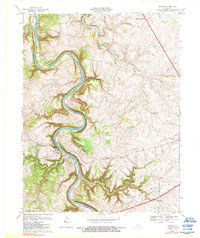
1967 Map of Tyrone
USGS Topo · Published 1988About this map
The Kentucky River carves a deep, winding path through the limestone heart of Bluegrass country, defining the border between Woodford and Anderson counties. Along its banks, industrial and community development is centered near the historic river crossing at Tyrone, where the Southern railroad bridge spans the gorge. This 1967 snapshot captures the essential infrastructure of the era, from the Filtration Plant and Powerplant near the river to the upland expansion of Versailles. Rural life is anchored by family and community landmarks such as Glenns Creek Ch and Pinckard Ch, while the dramatic topography is highlighted by the overlook at Lovers Leap. The transition from river-level industry to the rolling plateaus is evidenced by scattered settlements like Milner and Clifton, showing how the local landscape dictated both transport routes and settlement patterns before modern suburban growth transformed the region.
Find a feature on this map
40 named features on this map. Tap any name to fly to it.
Don’t see what you’re looking for? This feature index may not catch every label — zoom into the map to look around manually.
Map Details
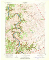
Editions of this 1967 Tyrone Map
2 editions found
Other maps of this area

1905 · Harrodsburg
USGS Topo · 1:125,000

1906 · Georgetown
USGS Topo · 1:62,500

1908 · Georgetown
USGS Topo · 1:62,500

1922 · Frankfort
USGS Topo · 1:48,000

1924 · Frankfort
USGS Topo · 1:62,500

1951 · Lawrenceburg
USGS Topo · 1:24,000

1952 · Keene
USGS Topo · 1:24,000

1952 · Salvisa
USGS Topo · 1:24,000

1952 · Mc Brayer
USGS Topo · 1:24,000

1952 · Midway
USGS Topo · 1:24,000