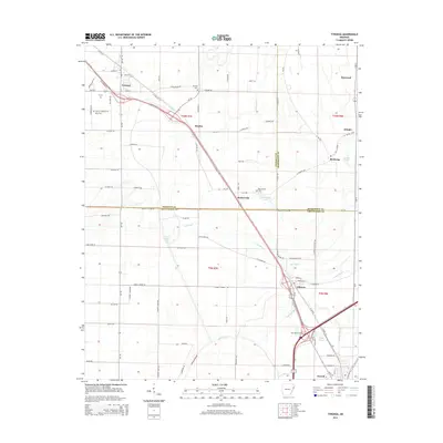
2014 Map of Tyronza
USGS Topo · Published 2014About this map
Tyronza stands as a primary settlement in this corner of the Arkansas Delta, where the landscape is defined by the complex drainage systems of the St. Francis River basin. The map illustrates a highly managed agricultural environment, crisscrossed by a network of bayous and drainage features such as Cross Bayou, Lamb Bayou, and the substantial Big Creek. This 2014 survey documents the convergence of several county boundaries, showing where Poinsett, Mississippi, and Crittenden counties meet amidst a patchwork of rural roads like Steel Bridge Rd and Marlin Swamp Rd.
Find a feature on this map
73 named features on this map. Tap any name to fly to it.
Don’t see what you’re looking for? This feature index may not catch every label — zoom into the map to look around manually.
Map Details
Editions of this 2014 Tyronza Map
This is the sole edition of this map. No revisions or reprints were ever made.
Other maps of this area

1931 · Jericho
USGS Topo · 1:62,500

1939 · Jericho
USGS Topo · 1:62,500

1939 · Evadale
USGS Topo · 1:62,500

1940 · Deckerville
USGS Topo · 1:62,500

1941 · Marked Tree
USGS Topo · 1:62,500

1952 · Jericho
USGS Topo · 1:62,500

1953 · Memphis
USGS Topo · 1:250,000

1956 · Evadale
USGS Topo · 1:62,500

1956 · Marked Tree
USGS Topo · 1:62,500

1956 · Memphis
USGS Topo · 1:250,000