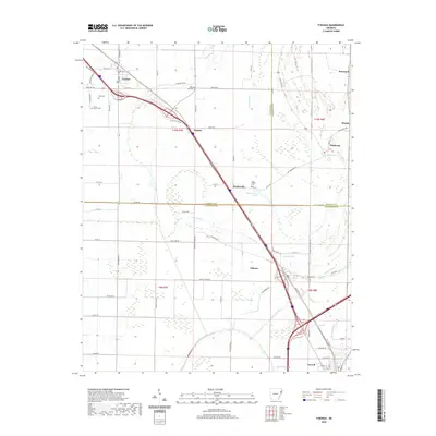
2020 Map of Tyronza
USGS Topo · Published 2020About this map
Tyronza and Turrell anchor this section of Northeast Arkansas, situated where the delta lowlands are crisscrossed by a complex network of bayous and drainage channels. The landscape is defined by the proximity of Big Creek and Cypress Bayou, which historically shaped the agricultural patterns of the region. This 2020 record highlights the continued significance of old transportation routes like Old Hwy 63, which links smaller communities such as Beasley, Deckerville, and Gilmore.
Find a feature on this map
62 named features on this map. Tap any name to fly to it.
Don’t see what you’re looking for? This feature index may not catch every label — zoom into the map to look around manually.
Map Details
Editions of this 2020 Tyronza Map
This is the sole edition of this map. No revisions or reprints were ever made.
Other maps of this area

1931 · Jericho
USGS Topo · 1:62,500

1939 · Jericho
USGS Topo · 1:62,500

1939 · Evadale
USGS Topo · 1:62,500

1940 · Deckerville
USGS Topo · 1:62,500

1941 · Marked Tree
USGS Topo · 1:62,500

1952 · Jericho
USGS Topo · 1:62,500

1953 · Memphis
USGS Topo · 1:250,000

1956 · Evadale
USGS Topo · 1:62,500

1956 · Marked Tree
USGS Topo · 1:62,500

1956 · Memphis
USGS Topo · 1:250,000