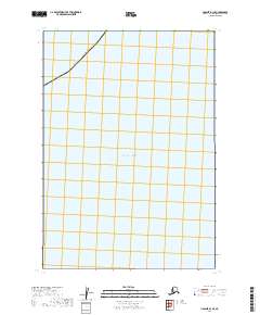
2019 Map of Ugashik B-1 SE
USGS Topo · Published 2019About this map
The vast expanse of the Pacific Ocean dominates this coastal maritime survey, providing a clear record of the offshore waters and boundary lines in Southwest Alaska. The map traces a portion of the Alaska Kodiak Island Borough line as it cuts through the northern sections of the grid. This particular sheet is defined by its focus on the maritime boundary and the Public Land Survey System divisions, including t32s r42w and t33s r43w. Because the landscape here is almost entirely open water, the map serves primarily as a navigational and administrative reference for the borough’s limits and the underlying township and range coordinates.
Find a feature on this map
5 named features on this map. Tap any name to fly to it.
Don’t see what you’re looking for? This feature index may not catch every label — zoom into the map to look around manually.
Map Details
Editions of this 2019 Ugashik B-1 SE Map
This is the sole edition of this map. No revisions or reprints were ever made.
Other maps of this area

1943 · Ugashik
USGS Topo · 1:250,000

1948 · Ugashik
USGS Topo · 1:250,000

1949 · Ugashik
USGS Topo · 1:250,000

1951 · Karluk
USGS Topo · 1:250,000

1951 · Ugashik B-1
USGS Topo · 1:63,360

1952 · Karluk
USGS Topo · 1:250,000

1963 · Ugashik
USGS Topo · 1:250,000

1964 · Karluk
USGS Topo · 1:250,000
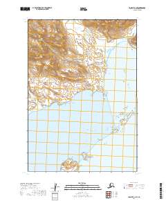
2019 · Ugashik B-1 NW
USGS Topo · 1:25,000
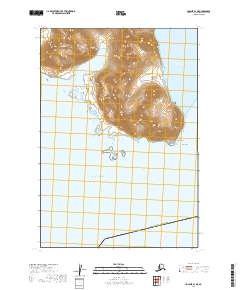
2019 · Ugashik B-1 NE
USGS Topo · 1:25,000