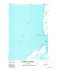
1951 Map of Ugashik C-6
USGS Topo · Published 1981About this map
Ugashik Bay and the coastal expanses of Bristol Bay dominate this 1951 topographic study, highlighting a landscape defined by shifting Tidal Flats and precarious maritime navigation. The shoreline is marked by prominent landforms such as Cape Greig and Cape Menshikof, which served as critical visual waypoints for vessels entering the estuary. Evidence of seasonal or specialized activity appears in the form of isolated Cabin sites and a cluster of Cabins near South Spit, likely supporting local fishing or trapping efforts.
Find a feature on this map
20 named features on this map. Tap any name to fly to it.
Don’t see what you’re looking for? This feature index may not catch every label — zoom into the map to look around manually.
Map Details
Editions of this 1951 Ugashik C-6 Map
2 editions found
Other maps of this area

1943 · Ugashik
USGS Topo · 1:250,000

1948 · Ugashik
USGS Topo · 1:250,000

1949 · Ugashik
USGS Topo · 1:250,000

1951 · Bristol Bay
USGS Topo · 1:250,000

1951 · Ugashik C-5
USGS Topo · 1:63,360

1951 · Ugashik D-5 and D-6
USGS Topo · 1:63,360

1951 · Ugashik C-6
USGS Topo · 1:63,360

1954 · Ugashik B-5
USGS Topo · 1:63,360

1963 · Ugashik B-6
USGS Topo · 1:63,360

1963 · Bristol Bay
USGS Topo · 1:250,000