
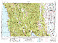
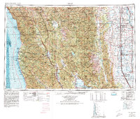
1957 Map of Ukiah
USGS Topo · Published 1966About this map
The Coast Ranges and the western edge of the Sacramento Valley dominate this mid-century landscape, illustrating the topographical divide between the timbered Pacific coastline and the inland agricultural basin. Along the coast, the Northwestern Pacific railroad corridor services lumber-reliant settlements near the Jackson State Forest, while the maritime safety of Point Cabrillo Coast Guard Light Station stands as a vital landmark. Further east, the Mendocino National Forest covers the high ridges of the Mendocino Range, harboring Lake Pillsbury and the Round Valley Indian Reservation at Covelo.
Find a feature on this map
257 named features on this map. Tap any name to fly to it.
Don’t see what you’re looking for? This feature index may not catch every label — zoom into the map to look around manually.
Map Details
Editions of this 1957 Ukiah Map
3 editions found
Other maps of this area

1886 · Lassen Peak
USGS Topo · 1:250,000

1888 · Marysville
USGS Topo · 1:125,000

1890 · Red Bluff
USGS Topo · 1:250,000

1891 · Chico
USGS Topo · 1:125,000

1891 · Marysville
USGS Topo · 1:125,000

1892 · Lassen Peak
USGS Topo · 1:250,000

1893 · Chico
USGS Topo · 1:125,000

1894 · Lassen Peak
USGS Topo · 1:250,000

1894 · Marysville
USGS Topo · 1:125,000

1894 · Red Bluff
USGS Topo · 1:250,000