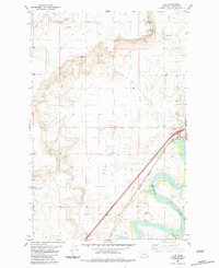
1983 Map of Ulm
USGS Topo · Published 1983About this map
The Missouri River winds through the southeastern corner of this landscape, its wide meanders defining the local topography as it flows past the town of Ulm. This 1983 survey shows a region defined by agricultural utility and the transition from river bottom to high plateau. The settlement of Fair Haven Colony occupies the western edge, while the expansive Ulm Flats stretch across the central portion of the map. Rising above these plains, Taft Hill dominates the northwestern quadrant.
Find a feature on this map
18 named features on this map. Tap any name to fly to it.
Don’t see what you’re looking for? This feature index may not catch every label — zoom into the map to look around manually.
Map Details
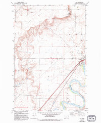
Editions of this 1983 Ulm Map
2 editions found
Other maps of this area

1886 · Great Falls
USGS Topo · 1:250,000

1949 · Cascade
USGS Topo · 1:62,500

1949 · Great Falls
USGS Topo · 1:62,500

1949 · Vaughn
USGS Topo · 1:62,500

1951 · Great Falls
USGS Topo · 1:62,500

1951 · Cascade
USGS Topo · 1:62,500

1952 · Vaughn
USGS Topo · 1:62,500

1954 · Great Falls
USGS Topo · 1:250,000

1955 · Gore Hill
USGS Topo · 1:62,500

1957 · Great Falls
USGS Topo · 1:250,000