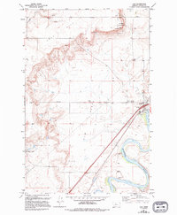
1983 Map of Ulm
USGS Topo · Published 1994About this map
Ulm Pishkun State Monument dominates the northeastern bluffs of this Cascade County landscape, overlooking the expansive Ulm Flats. This 1994 revision of a 1983 survey illustrates a region defined by the confluence of major waterways and the logistics of the Montana high plains. The settlement of Ulm serves as a central hub, situated where the Burlington Northern railroad and Interstate 15 converge near the winding path of the Missouri River. To the west, the Fair Haven Colony is established near the base of Taft Hill, reflecting the area's agricultural and communal land use patterns. The map captures the transition from the irrigated bottomlands along the Sun River to the high, arid Bench lands, marked by essential rural infrastructure such as a Rodeo Ground, numerous Spring sources, and scattered Corral locations.
Find a feature on this map
21 named features on this map. Tap any name to fly to it.
Don’t see what you’re looking for? This feature index may not catch every label — zoom into the map to look around manually.
Map Details
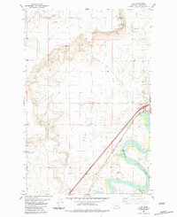
Editions of this 1983 Ulm Map
2 editions found
Other maps of this area

1886 · Great Falls
USGS Topo · 1:250,000

1949 · Cascade
USGS Topo · 1:62,500

1949 · Great Falls
USGS Topo · 1:62,500

1949 · Vaughn
USGS Topo · 1:62,500

1951 · Great Falls
USGS Topo · 1:62,500

1951 · Cascade
USGS Topo · 1:62,500

1952 · Vaughn
USGS Topo · 1:62,500

1954 · Great Falls
USGS Topo · 1:250,000

1955 · Gore Hill
USGS Topo · 1:62,500

1957 · Great Falls
USGS Topo · 1:250,000