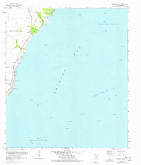
1961 Map of Umbrella Point
USGS Topo · Published 1977About this map
Trinity Bay dominates this coastal survey, where the interface of land and water is defined by extensive energy extraction and small-scale community landmarks. Large-scale underwater operations are evident in the Trinity Bay Oil Field, Fishers Reef Oil Field, and Umbrella Point Oil Field, with numerous gas wells and drill holes scattered across the bay floor. Along the shoreline, local life centers on the Tri-City Beach Road corridor, featuring the Tri-City Beach Mission and Trinity Bay Ch.
Find a feature on this map
20 named features on this map. Tap any name to fly to it.
Don’t see what you’re looking for? This feature index may not catch every label — zoom into the map to look around manually.
Map Details
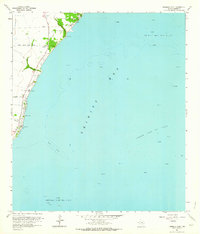
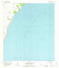
Editions of this 1961 Umbrella Point Map
3 editions found
Other maps of this area

1916 · Morgan Point
USGS Topo · 1:24,000

1916 · Cedar Bayou
USGS Topo · 1:24,000

1919 · Morgan Point
USGS Topo · 1:31,680

1919 · Cedar Bayou
USGS Topo · 1:31,680

1932 · Clifton By The Sea
USGS Topo · 1:31,680

1933 · Whites Lake
USGS Topo · 1:31,680

1933 · Smith Point
USGS Topo · 1:31,680

1942 · Anahuac
USGS Topo · 1:24,000

1943 · West of Eagle
USGS Topo · 1:31,680
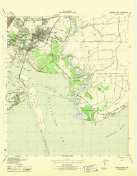
1943 · Morgan Point
USGS Topo · 1:31,680