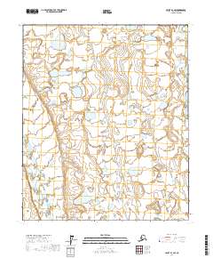
2017 Map of Umiat B-1 SW
USGS Topo · Published 2017About this map
The Kuparuk River and the Itkillik River dominate this segment of the North Slope, illustrating the braided waterway patterns common to the Alaskan tundra. This landscape is defined by its extreme hydrography, where seasonal meltwater creates a complex network of thaw lakes and ponds across the vast plains. The map primarily records the natural state of the terrain as surveyed in the early 21st century, with very little human infrastructure or permanent settlement established in this remote section of the borough. The land is divided by the Public Land Survey System into several townships including t1s r7e and t2s r7e, which provide the grid for future exploration or land management in a region otherwise devoid of roads or named landmarks.
Find a feature on this map
8 named features on this map. Tap any name to fly to it.
Don’t see what you’re looking for? This feature index may not catch every label — zoom into the map to look around manually.
Map Details
Editions of this 2017 Umiat B-1 SW Map
This is the sole edition of this map. No revisions or reprints were ever made.
Other maps of this area

1952 · Umiat
USGS Topo · 1:250,000

1956 · Umiat
USGS Topo · 1:250,000

1964 · Umiat
USGS Topo · 1:250,000

1971 · Umiat A-2
USGS Topo · 1:63,360
1971 · Umiat B-2
USGS Topo · 1:63,360
1971 · Umiat A-1
USGS Topo · 1:63,360
1971 · Umiat B-1
USGS Topo · 1:63,360
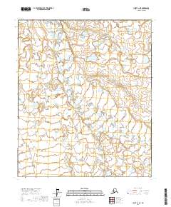
2017 · Umiat A-1 NE
USGS Topo · 1:25,000
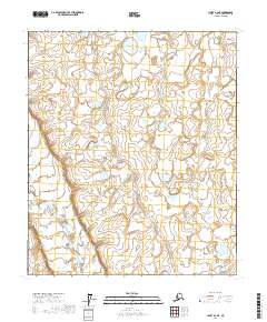
2017 · Umiat A-2 NE
USGS Topo · 1:25,000
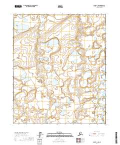
2017 · Umiat B-1 NW
USGS Topo · 1:25,000