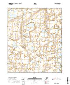
2017 Map of Umiat B-1 NW
USGS Topo · Published 2017About this map
Kuparuk River carves through the undulating tundra of the North Slope, appearing here as a complex network of braided channels and shifting sandbars. This 2017 survey by the U.S. Geological Survey reveals a landscape dominated by permafrost-influenced hydrology, where countless thaw lakes and ephemeral ponds saturate the terrain between the river and the township lines. The mapping of t2n r6e, t1n r7e, and adjacent townships provides a technical record of the surface water distribution and topographic relief at a 1:25,000 scale. This specific quadrangle captures the raw character of the arctic coastal plain, emphasizing the intricate water-land interface of the Kuparuk River valley in a region defined by its lack of permanent settlements or infrastructure.
Find a feature on this map
8 named features on this map. Tap any name to fly to it.
Don’t see what you’re looking for? This feature index may not catch every label — zoom into the map to look around manually.
Map Details
Editions of this 2017 Umiat B-1 NW Map
This is the sole edition of this map. No revisions or reprints were ever made.
Other maps of this area

1952 · Umiat
USGS Topo · 1:250,000

1956 · Umiat
USGS Topo · 1:250,000

1964 · Umiat
USGS Topo · 1:250,000
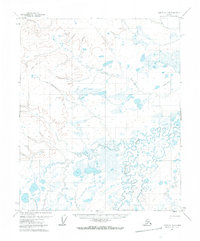
1971 · Umiat C-1
USGS Topo · 1:63,360
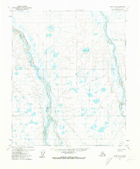
1971 · Umiat B-2
USGS Topo · 1:63,360
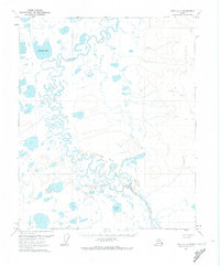
1971 · Umiat C-2
USGS Topo · 1:63,360
1971 · Umiat B-1
USGS Topo · 1:63,360
2017 · Umiat B-1 SW
USGS Topo · 1:25,000
2017 · Umiat C-1 SW
USGS Topo · 1:25,000
2017 · Umiat C-2 SE
USGS Topo · 1:25,000