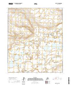
2017 Map of Umiat C-1 SW
USGS Topo · Published 2017About this map
The vast expanse of the North Slope's arctic wetlands is documented in this 2017 survey, revealing a landscape dominated by complex hydrography and seasonal inundation. The area is defined by the intersections of T3n R6e, T3n R7e, T2n R6e, and T2n R7e, representing a remote segment of the Public Land Survey System in northern Alaska. While the map is sparse in terms of permanent settlements or man-made structures, the intricate network of lakes and drainage patterns provides critical data for understanding the terrain of the borough. The imagery and hydrography datasets captured between 2002 and 2016 illustrate the shifting nature of these wetlands, which are essential for environmental researchers and those tracking land usage in this part of the state.
Find a feature on this map
4 named features on this map. Tap any name to fly to it.
Don’t see what you’re looking for? This feature index may not catch every label — zoom into the map to look around manually.
Map Details
Editions of this 2017 Umiat C-1 SW Map
This is the sole edition of this map. No revisions or reprints were ever made.
Other maps of this area

1952 · Umiat
USGS Topo · 1:250,000

1956 · Umiat
USGS Topo · 1:250,000

1964 · Umiat
USGS Topo · 1:250,000
1971 · Umiat C-1
USGS Topo · 1:63,360
1971 · Umiat B-2
USGS Topo · 1:63,360
1971 · Umiat C-2
USGS Topo · 1:63,360
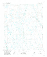
1971 · Umiat B-1
USGS Topo · 1:63,360
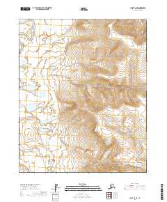
2017 · Umiat C-2 NE
USGS Topo · 1:25,000
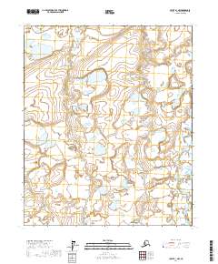
2017 · Umiat B-1 NW
USGS Topo · 1:25,000
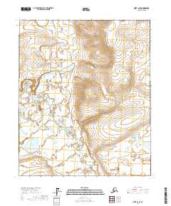
2017 · Umiat C-2 SE
USGS Topo · 1:25,000