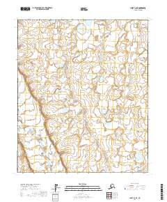
2017 Map of Umiat A-2 NE
USGS Topo · Published 2017About this map
The Nanushuk River winds through the southwestern corner of this North Slope landscape, providing the primary hydrological landmark in an area otherwise defined by a complex network of unnamed lakes and wetlands. Surveyed in 2017, this portion of the Arctic coastal plain is organized by the Public Land Survey System, spanning townships including T2s R5e, T3s R5e, and T4s R5e. The terrain character is revealed through tight contour intervals that trace the subtle elevation changes of the tundra and the drainage patterns feeding into the river system. While devoid of modern roads or permanent settlements, the map records the fundamental geography of the North Slope Borough, illustrating the natural state of the Alaskan interior before any significant infrastructure development reached this specific quadrant.
Find a feature on this map
7 named features on this map. Tap any name to fly to it.
Don’t see what you’re looking for? This feature index may not catch every label — zoom into the map to look around manually.
Map Details
Editions of this 2017 Umiat A-2 NE Map
This is the sole edition of this map. No revisions or reprints were ever made.
Other maps of this area

1952 · Umiat
USGS Topo · 1:250,000

1956 · Umiat
USGS Topo · 1:250,000

1964 · Umiat
USGS Topo · 1:250,000

1971 · Umiat A-2
USGS Topo · 1:63,360
1971 · Umiat B-2
USGS Topo · 1:63,360
1971 · Umiat A-1
USGS Topo · 1:63,360
1971 · Umiat B-1
USGS Topo · 1:63,360
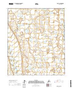
2017 · Umiat B-1 SW
USGS Topo · 1:25,000
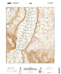
2017 · Umiat A-2 SW
USGS Topo · 1:25,000
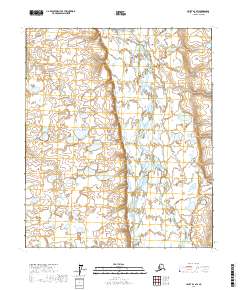
2017 · Umiat B-2 SW
USGS Topo · 1:25,000