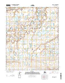
2013 Map of Umiat C-4 NW
USGS Topo · Published 2013About this map
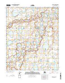
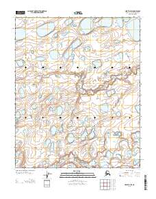
Kikiakrorak River meanders through this portion of the North Slope, carving a serpentine path through a landscape defined by an immense network of thaw lakes and thermokarst depressions. The intricate drainage patterns visible here are characteristic of the Alaskan tundra, where the permafrost-influenced terrain creates a complex mosaic of water bodies that shift over time. This 2013 survey illustrates the remote wilderness of the Kikiakrorak River basin, showing the subtle topographic relief and the vast distribution of water that dominates the region. The map provides a detailed view of the natural hydrology in an area far removed from permanent settlements or infrastructure, offering a clear record of the Arctic landscape in the early twenty-first century.
Find a feature on this map
40 named features on this map. Tap any name to fly to it.
Don’t see what you’re looking for? This feature index may not catch every label — zoom into the map to look around manually.
Map Details
Editions of this 2013 Umiat C-4 NW Map
This is the sole edition of this map. No revisions or reprints were ever made.
Other maps of this area

1952 · Umiat
USGS Topo · 1:250,000

1955 · Umiat C-4
USGS Topo · 1:63,360
1955 · Umiat D-5
USGS Topo · 1:63,360
1955 · Umiat D-4
USGS Topo · 1:63,360

1955 · Umiat C-5
USGS Topo · 1:63,360

1956 · Umiat
USGS Topo · 1:250,000

1964 · Umiat
USGS Topo · 1:250,000
2013 · Umiat C-4 SE
USGS Topo · 1:25,000
2013 · Umiat D-4 SE
USGS Topo · 1:25,000
2013 · Umiat D-4 SW
USGS Topo · 1:25,000