2024 Map of Unadilla
USGS Topo · Published 2024About this map
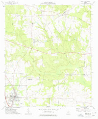
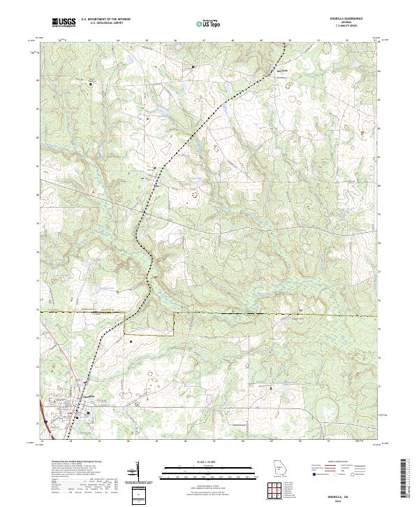
Unadilla and the surrounding agricultural landscape of Dooly and Houston Counties are defined by a network of rural roads and watercourses. The town of Unadilla is structured along the E Railroad St corridor, while smaller communities like Elko and Grovania anchor the northern reaches of the area. Family history is well-preserved through numerous burial sites, including Evergreen Cem, Walnut Cem, and the Middlebrooks Cem near the county line. The terrain is drained by several significant waterways such as Big Creek, Spring Creek, and Dry Creek, which flow through the forested lowlands between cultivated fields. Smaller landmarks like Perfect Lake and Griggs North Lake further characterize the region's hydrography. The map also documents the layout of local infrastructure, from Lately Bridge Rd to the quiet residential blocks of Sugar Hill.
Find a feature on this map
84 named features on this map. Tap any name to fly to it.
Don’t see what you’re looking for? This feature index may not catch every label — zoom into the map to look around manually.
Map Details
Editions of this 2024 Unadilla Map
This is the sole edition of this map. No revisions or reprints were ever made.