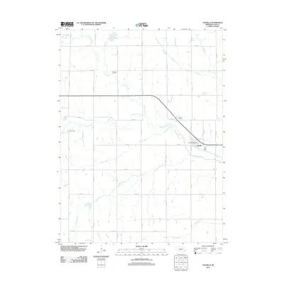
2011 Map of Unadilla
USGS Topo · Published 2011About this map
Unadilla serves as the primary hub of this eastern Nebraska landscape, situated at the confluence of several key regional waterways. The Little Nemaha River flows through the center of the sheet, joined by various tributaries including Hooper Creek, Henry Creek, and Russell Creek. These drainages historically dictated the placement of early homesteads and transportation routes across the prairie. Local history and genealogy researchers will find several well-defined burial grounds across the area, such as the Thompson Cemetery to the north and the Palmyra Cemetery to the west. Within the town itself, the Unadilla Post Office and Unadilla Cemetery mark the enduring community structure. The grid of rural roads, including N 10th Rd and Co Rd D, reveals the systematic division of agricultural land that has characterized Otoe County since settlement.
Find a feature on this map
38 named features on this map. Tap any name to fly to it.
Don’t see what you’re looking for? This feature index may not catch every label — zoom into the map to look around manually.
Map Details
Editions of this 2011 Unadilla Map
This is the sole edition of this map. No revisions or reprints were ever made.
Other maps of this area

1903 · Weeping Water
USGS Topo · 1:125,000

1929 · Weeping Water
USGS Topo · 1:125,000

1955 · Lincoln
USGS Topo · 1:250,000

1957 · Lincoln
USGS Topo · 1:250,000

1958 · Lincoln
USGS Topo · 1:250,000
1965 · Douglas
USGS Topo · 1:24,000
1966 · Eagle
USGS Topo · 1:24,000
1966 · Cook
USGS Topo · 1:24,000
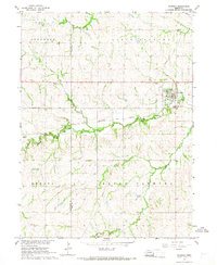
1966 · Palmyra
USGS Topo · 1:24,000
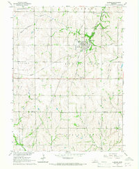
1966 · Elmwood
USGS Topo · 1:24,000